


2012 | a work of Giseler Mertes | As part of the exhibition “Shadow and Light”, Königslutter Imperial Cathedral, Azade Köker
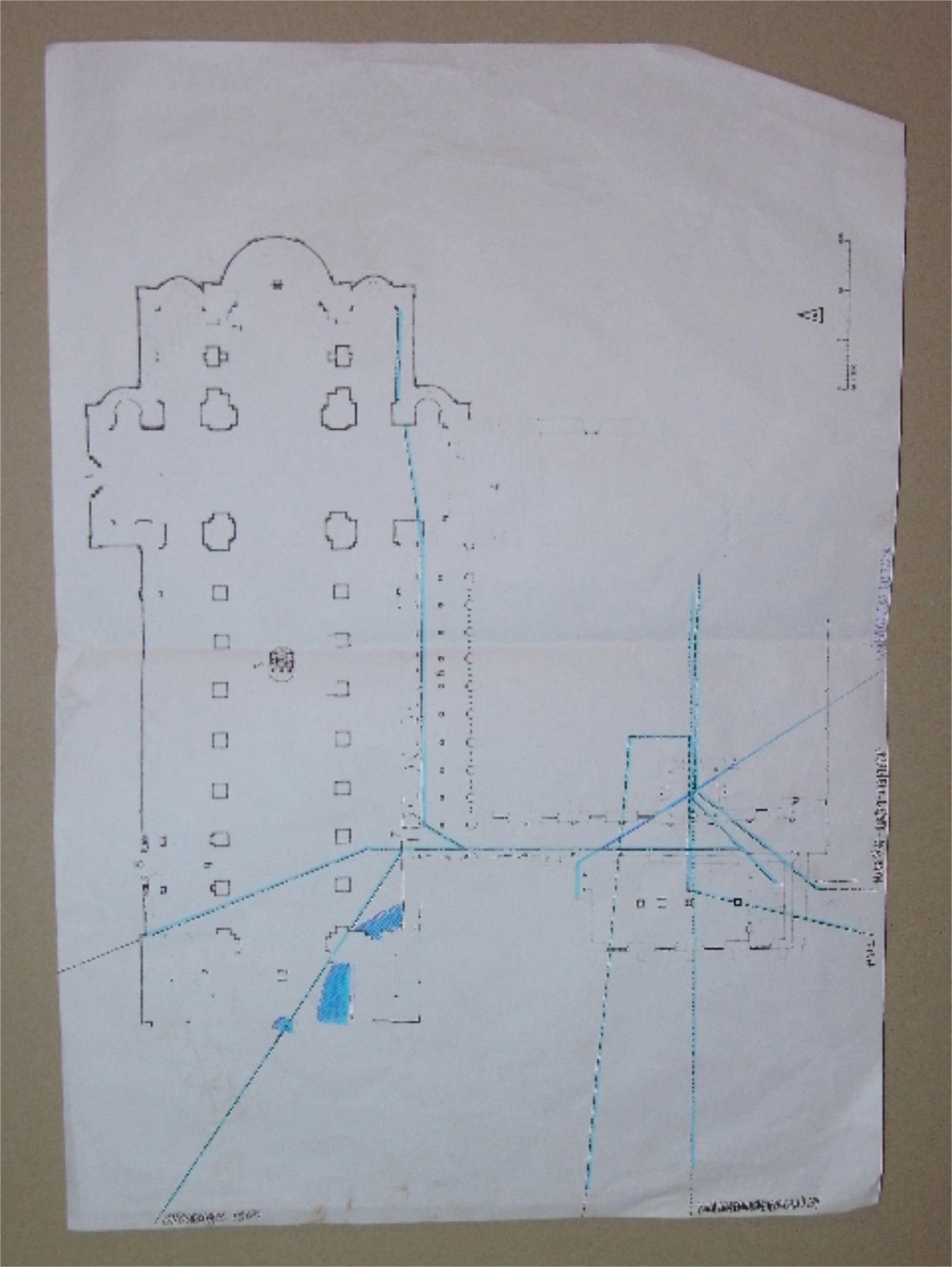
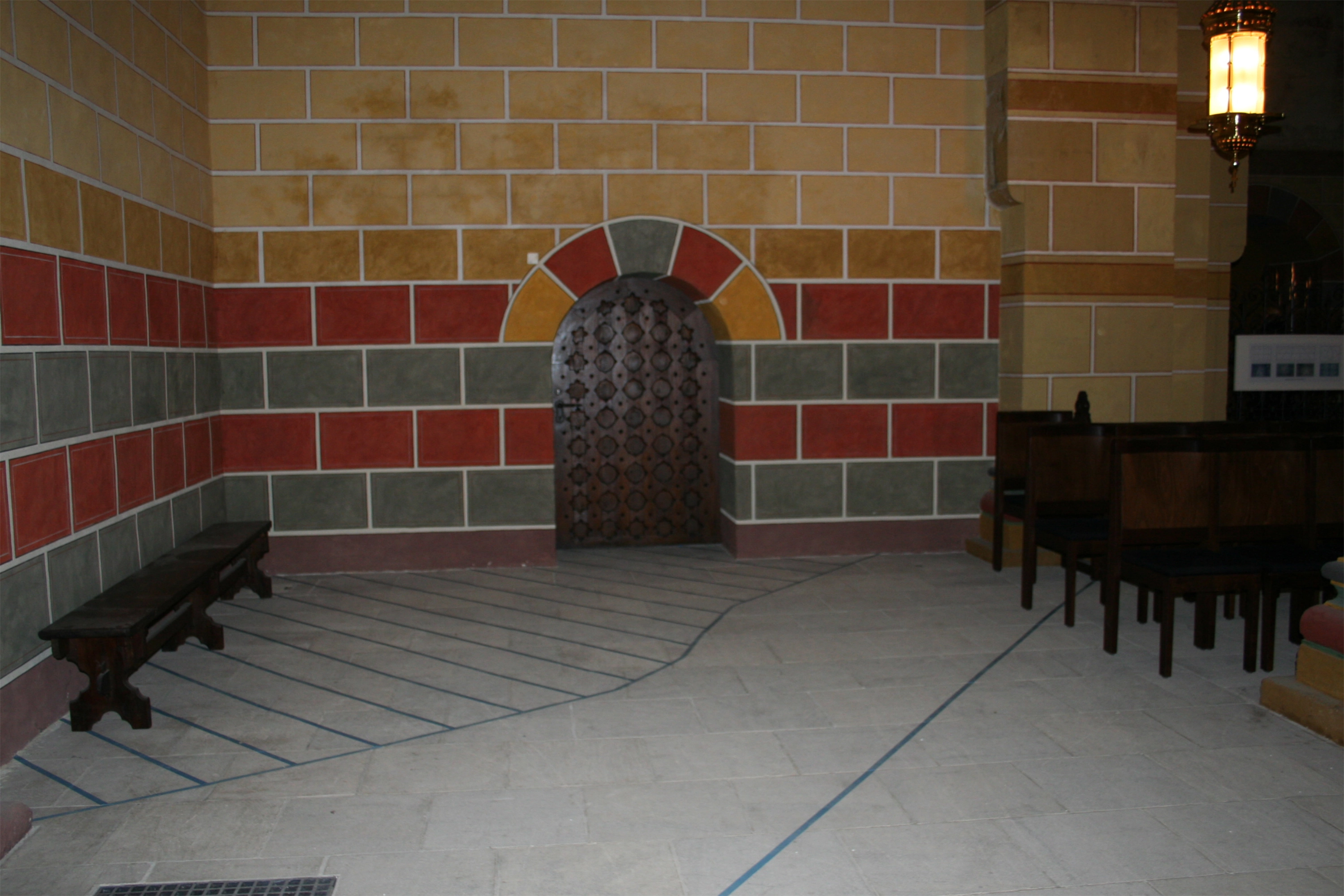
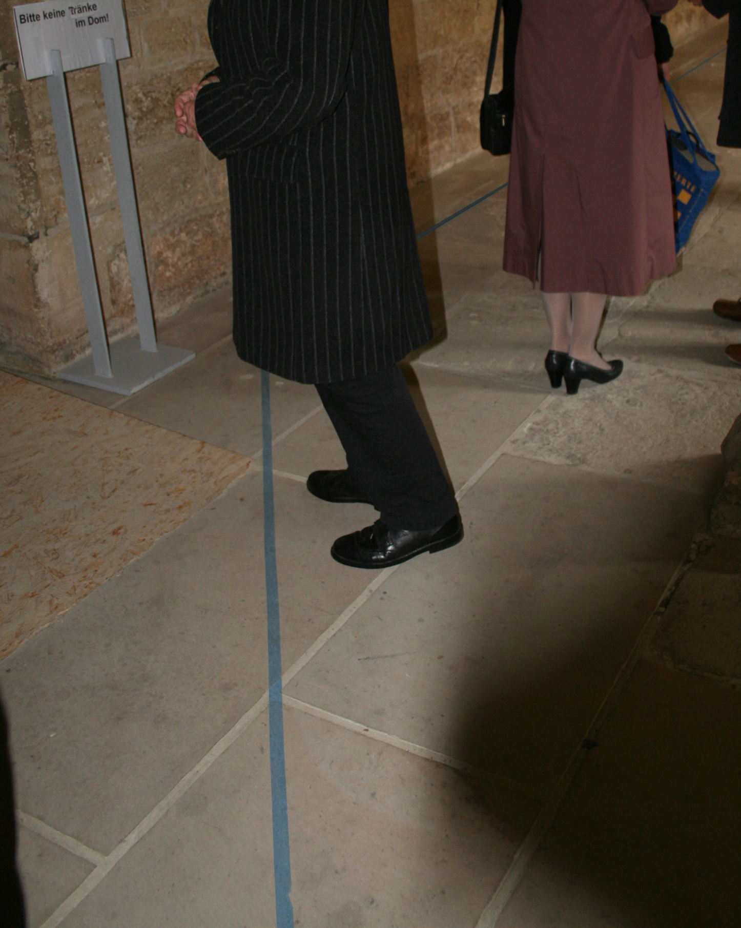
On the floor of the Kaiserdom in Königslutter, we have created a map on a scale of 1:1 with blue adhesive tape. This visualizes all existing and extremely contradictory views on the occurrence of water under the cathedral. The city archivist, private archivist, shaman, priest, geologist, cultural scientist, the oldest local resident and the café owner all had different ideas about these water occurrences. None of them was clearly proven. We visualized all possible watercourses, water accumulations and water channels under the cathedral in Königslutter in the form of a blue line on the floor of the cathedral. We invited the respondents to walk along this – you could say 1:1 scale – map. It quickly became clear that the sum of all the perspectives revealed in our research showed a network of water that would have caused the cathedral to collapse.